built in
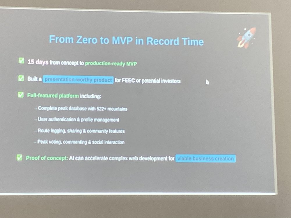
15 days
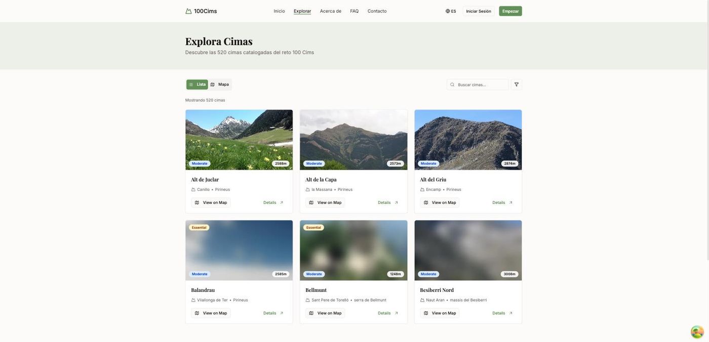
A companion for Catalonia's 100 Cims challenge: 522 catalogued peaks, no time limit. Built with Roger Veciana in 15 days, entirely with AI tools.
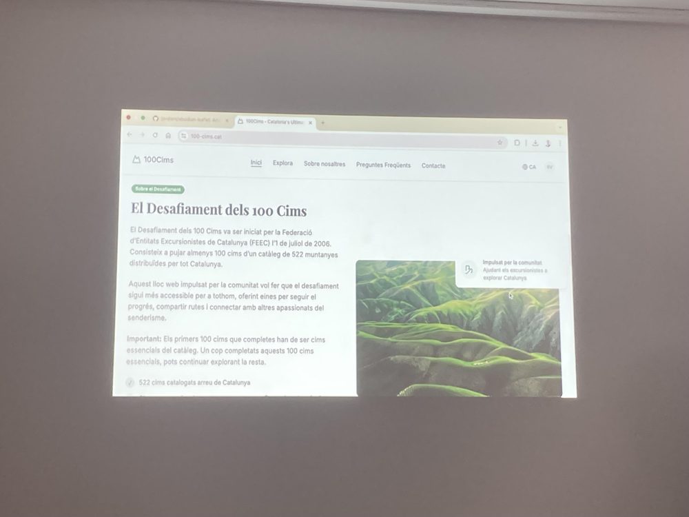
The 100 Cims is a real challenge run by the FEEC: climb 522 catalogued summits across Catalonia, at your own pace, for as long as it takes. People track it on paper, in spreadsheets, in their heads.
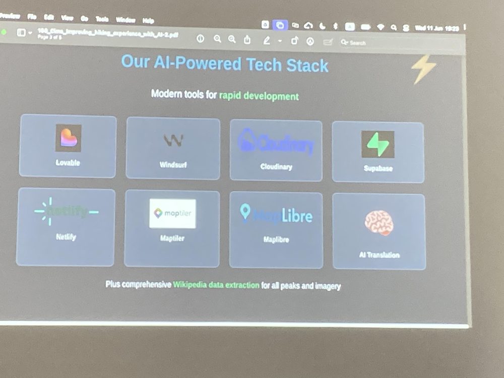
We wanted to find out something else at the same time: how far you could get building a real product with AI tools and nothing else. Not a demo. Auth, a database, file uploads, maps, a community. The hiking challenge was the excuse. The experiment was the point.
Fifteen days from concept to a production ready MVP, written almost entirely by prompting. My first site built this way end to end.
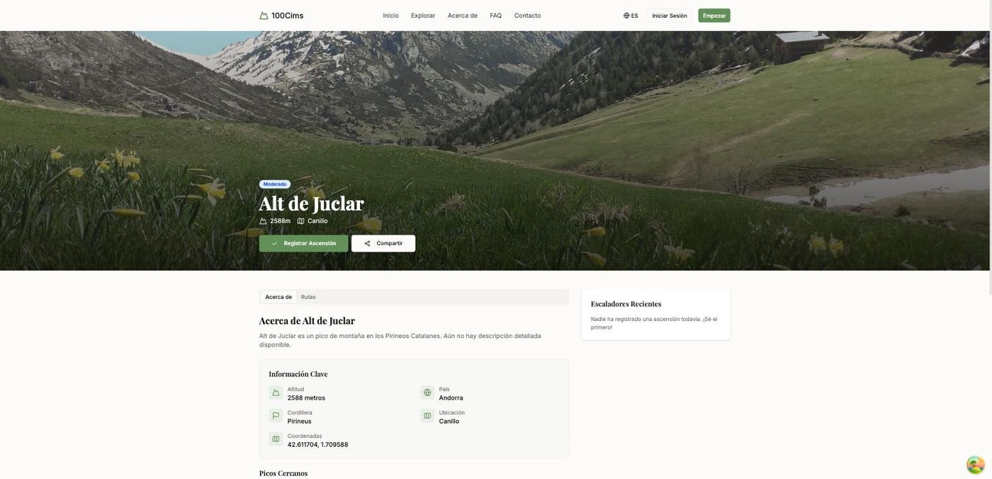
The part worth defending on its own merits is the data. The peak catalog is not typed in by hand: it syncs itself from Wikidata over SPARQL, with elevation, coordinates, mountain range, country and images. Then a separate job walks every summit and precomputes its five nearest neighbours with the Haversine formula, writing the result to the database instead of working it out on every request.
“A case-study in the pros and cons of this new style of development.”
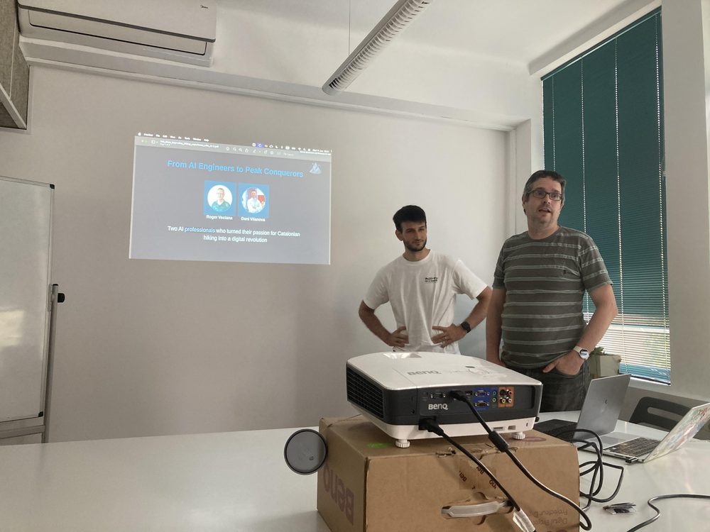
We closed the night at Geomob Barcelona, four speakers in, and the talk took the SplashMaps best speaker prize. The honest half was the part people remembered: this approach is great for a V1, and what happens to it over years is an open question.
100-cims.cat no longer resolves and the Supabase project is gone. What is left sits in the repo: the 522 peaks, the precomputed neighbours, and 439 summit photographs still in Cloudinary. Enough to bring it back in an afternoon, if it earns one.
Which is, in its way, the honest ending to the experiment: fifteen days to build, and the maintenance question answered by not answering it.